English
 BM
BM

Inisiatif Geospatial
Inisiatif MyGDI merupakan hab perkongsian data geospatial secara dinamik merentasi agensi sektor awam, badan bukan kerajaan, akademia dan rakyat.
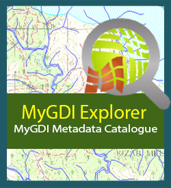
Katalog Metadata (MyGDI Explorer)
Aplikasi ini membenarkan pengguna untuk membuat carian berkaitan data/ maklumat berkaitan geospatial
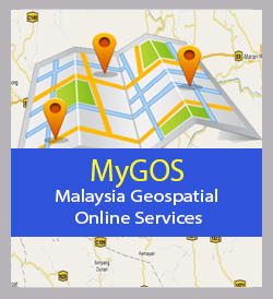
Berkolaborasi dan Berkongsi Maklumat Geospatial (MyGOS)
Aplikasi ini merupakan platform untuk menggalakkan perkongsian maklumat geospatial di antara pelbagai agensi atau organisasi
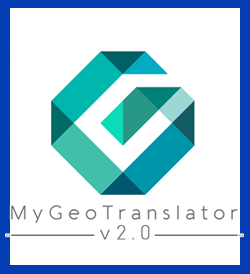
MyGeotranslator
Membantu dan memudahkan agensi pembekal data mengguna pakai standard data geospatial yang telah dibangunkan oleh PGN
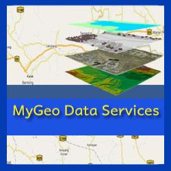
MyGeo Data Services
MyGeo Data Services menyediakan antara muka untuk capaian data-data yang boleh dikongsi di antara Agensi Kerajaan dengan Agensi Kerajaan (G2G)
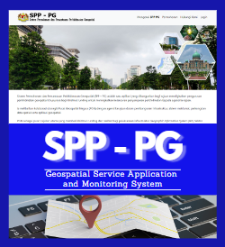
Sistem Permohonan dan Pemantauan Perkhidmatan Geospatial (SPP-PG)
Aplikasi yang bertujuan untuk mendigitalkan pengurusan perkhidmatan geospatial dan khidmat runding bagi meningkatkan kelancaran penyampaian perkhidmatan kepada agensi kerajaan
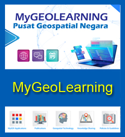
MyGeoLearning
MyGeolearning merupakan katalog dalam talian yang menyimpan bahan-bahan rujukan berkenaan program MyGDI serta dokumen berkaitan bidang geospatial
Carian Nama Geografi (MyGeoName)
MyGeoName merupakan pangkalan data yang menyimpan nama geografi, lokasi, sejarah dan notifikasi gazetir yang sah
Carian Kod dan Nama Pengurusan Tanah (UPI)
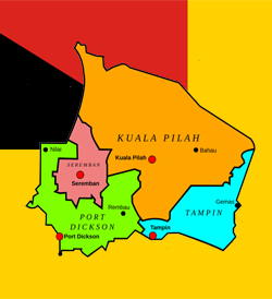
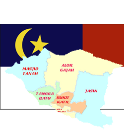
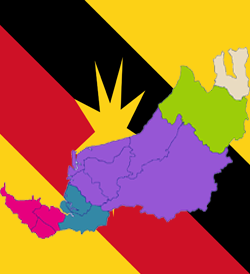
Bagi penyelarasan Kod dan Nama Sempadan Pentadbiran Tanah (Unique Parcel Identifier - UPI) seperti Negeri, Daerah, Mukim/ Bandar/ Pekan dan Seksyen
Carian Kod Fitur dan Atribut (MS1759)
MS1759 merupakan satu kaedah pengekodan butiran dan atribut serta menyediakan penerangan berkaitan maklumat geospatial