
Director`s Message
السَّلاَمُ عَلَيْكُمْ وَرَحْمَةُ اللهِ وَبَرَكَاتُهُ
And Good Day
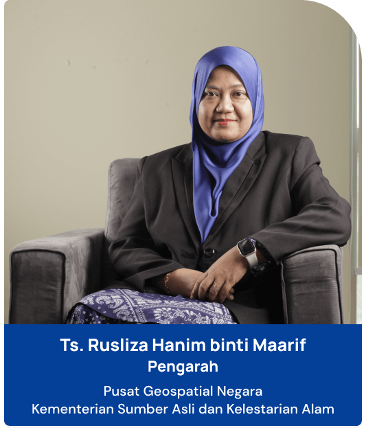
Welcome and thank you for visiting the Malaysia Geoportal (MyGeoportal), the official portal of the Malaysia Geospatial Data Infrastructure (MyGDI).
The government recognizes that public demand for accurate, up-to-date, relevant, and easily accessible geospatial information at various levels is crucial.
In line with the goal of prioritizing the people, the efficient provision and sharing of geospatial information by relevant government agencies can boost public service delivery.
Aligned with the national initiative to provide a National Geospatial Data Infrastructure through the MyGDI, it encompasses infrastructure provision, policy and standards development, and R&D of geospatial technology for information sharing.
The main objective of this program is to assist agencies in planning, developing, and managing through the sharing of accurate and reliable geospatial information, while preventing duplication in data collection among agencies involved.
Thus, this program facilitates smart partnerships for information sharing among agencies to enable easier and more effective access to geospatial data for all stakeholders.
MyGeoportal is expected to help users to obtain the latest information regarding local and international geospatial activities.
All geospatial services provided, such as online access to the metadata catalog (MyGDI Explorer) and Malaysia Geospatial Online Services (MyGOS), can be accessed interactively by users through MyGeoportal.
The information displayed on this portal will be constantly updated to ensure it remains a beneficial reference for all visitors.
On behalf of PGN, I would like to express my gratitude to federal and state agencies, local authorities (PBT), statutory bodies, academia, and private agencies for their continuous cooperation in making the implementation of the MyGDI a success.
Finally, a thank you to everyone visiting this portal. I hope its content will provide benefits to all parties.
Best regards.