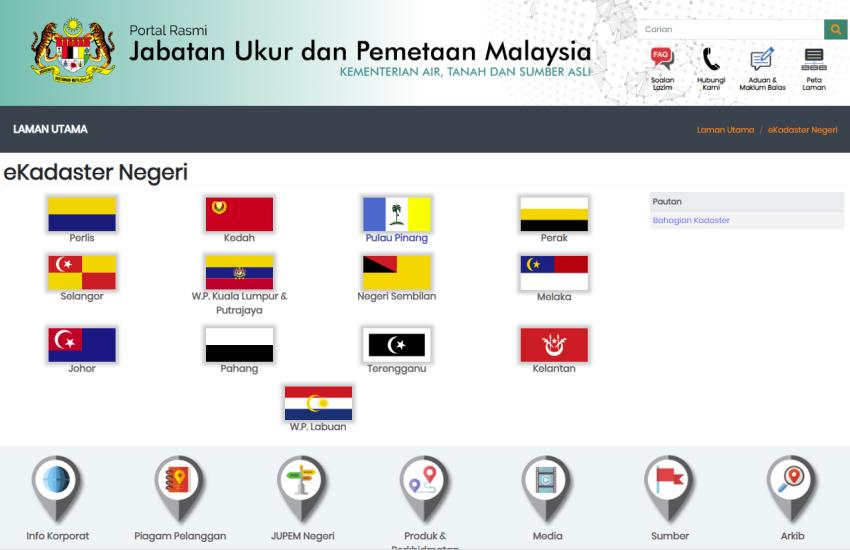
Malaysia: The Department of Survey and Mapping (JUPEM) in Malaysia completed its biggest project called eKadaster in support of the nation’s vision of becoming a developed country by 2020, revealed Ahmad Fauzi Nordin, Deputy Director General of JUPEM. Nordin was in conversation with FutureGov.
Nordin explained that the eKadaster integrates various systems such as the Land Office’s eTanah, the Land Surveyor’s Board’s eLJT and JUPEM’s Geoportal and MaCGDI (Malaysia Geospatial Data Infrastructure). The project aims to facilitate the sharing of geospatial information and resources between government agencies responsible for land administration.
The e-Tanah and the e-LJT are systems that were implemented to integrate and modernise work processes and delivery systems of both the Land Office and the Land Surveyor’s Board. Specifically, the e-Tanah was created to modernise the agency’s land transaction activities, while e-LJT was implemented to improve several organisational functions such as general administration and project monitoring and recording.
The JUPEM Geoportal, on the other hand, stands as the country’s one-stop-shop for spatial data and other geospatial products. With the Geoportal in place, users can simply purchase a selected dataset or place an order for the data online.
Meanwhile, MaCGDI is a centre established by the government to manage and promote the development of Malaysia’s Geospatial Data Infrastructure. MaCGDI is also responsible for coordinating access and delivery of the geographic information held by all government agencies.
The eKadaster’s main objective is to shorten the preparation period of title plans and issuance of final title plans from two years to less than two months. The web-enabled programme would allow for faster and more accurate work process with less human intervention.
In addition, Nordin informed that the JUPEM team have computerised mapping field process through a project called the Computer Assisted Topographic Mapping System (CATMAPS), a concept similar to that of the eKadaster, which aims to automate and accelerate topographic mapping work done by the mapping division’s field surveyors.
“The field information collected through the CATMAPS is stored in the ruggedised notebooks of field surveyors. Ruggedised notebooks are special notebooks that enable surveyors to upload the field information into the server to produce digital maps. Through this new system, productivity has increased by more than 150 per cent.”
Under the 10th Malaysia Development Plan, JUPEM will continue to accelerate topographic data production and this will be undertaken under the recently-approved e-Mapping and map generalisation project, whereby the topographic data collected through the CATMAPS is generalised to produce thematic maps and topographic maps crucial for urban planning. - See more at: http://www.geospatialworld.net/News/View.aspx?ID=26100_Article#sthash.q6...

