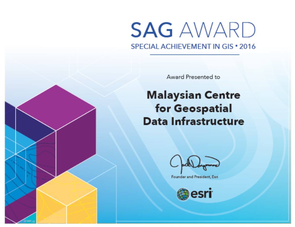
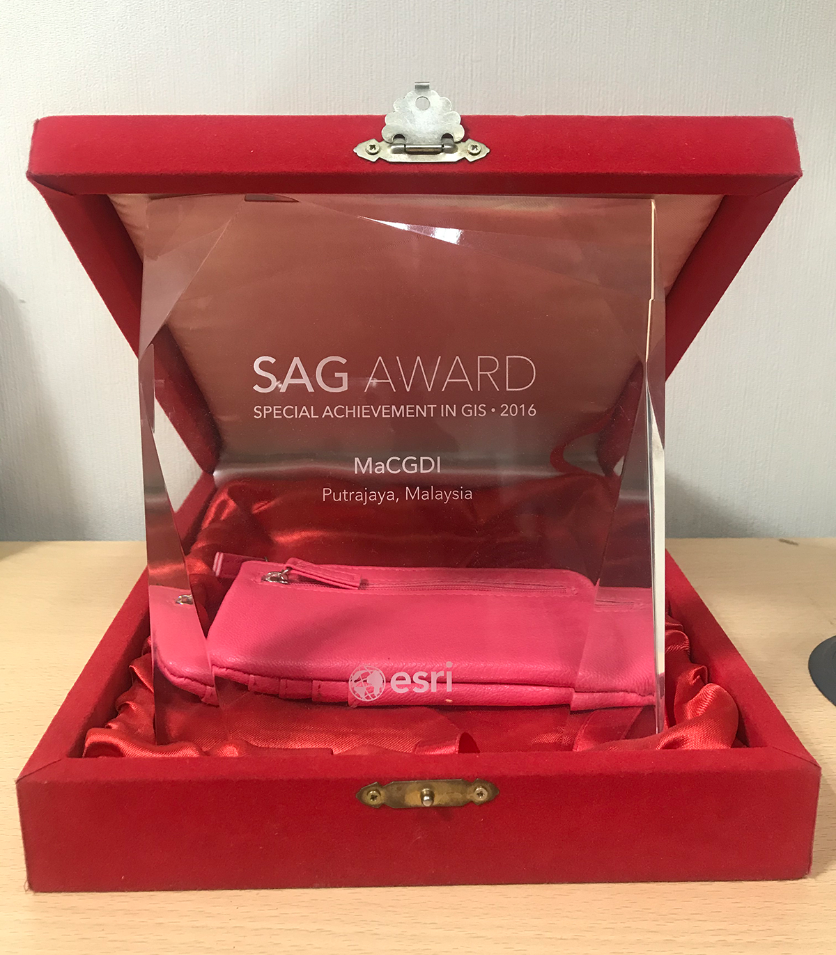
2016 : The Malaysian Centre for Geospatial Data Infrastructure (MaCGDI) has won the prestigious Special Achievement in GIS (SAG) award for MyGOS application, a mission-critical decision-making tool used by government agencies nationwide to support public services.
The highly-regarded global tech award was announced by Jack Dangermond, Founder and President of global mapping giant Esri, during the Esri International User Conference in San Diego, California.
MaCGDI was selected from a pool of more than 350,000 commercial and public sector organizations worldwide to receive the honour, which recognises the innovative use of Geographic Information System (GIS) technology to solve real-world challenges. MyGOS (Malaysia Geospatial Online Services) is a collaborative platform that facilitates geospatial information sharing and uses among government agencies and the private sector.