
Geospatial Metadata

Metadata is "data about data." It describes the data/ information/ services related to a particular product. Metadata addresses key questions such as who, what, when, where, why, and how regarding the product.


In the context of geospatial information, geospatial metadata describes the geospatial information to be shared. Metadata is not limited to data alone, but includes information about GIS applications, research reports, geospatial information development and services.

The publication of metadata promotes the availability of geospatial information by providing details of geospatial data held by government and private agencies. It helps prevent duplication of data or services across various agencies and facilitates users in identifying the geospatial information they require

MyGDI Explorer Application

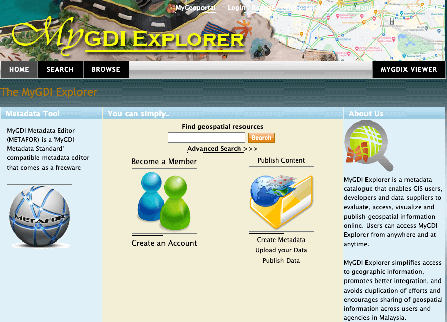
MyGDI Explorer is a metadata catalogue application that enables users to explore, search, view, and evaluate geospatial data. MyGDI Explorer contains records describing the content and information as well as instructions on how to access the data. It serves as a platform for disseminating geospatial information, connecting data providers with users across Malaysia. The selection of metadata catalog elements is based on the MS 2647:2023 document, titled Geospatial Metadata – Fundamental and Implementation Schema.

Metadata

Through MyGDI Explorer, users can register for an account to gain more detailed access to geospatial information available in the Metadata Catalogue and subsequently become Metadata Publishers by contributing metadata. Metadata Providers include geospatial information suppliers from various government agencies, private sectors, and the general public.