Skip to main content
Carian
BM
EN
Main navigation
Utama
Tentang Kami
PGN
Perutusan Pengarah
Info Organisasi
Info Korporat
Info Kelab PGN
Sejarah
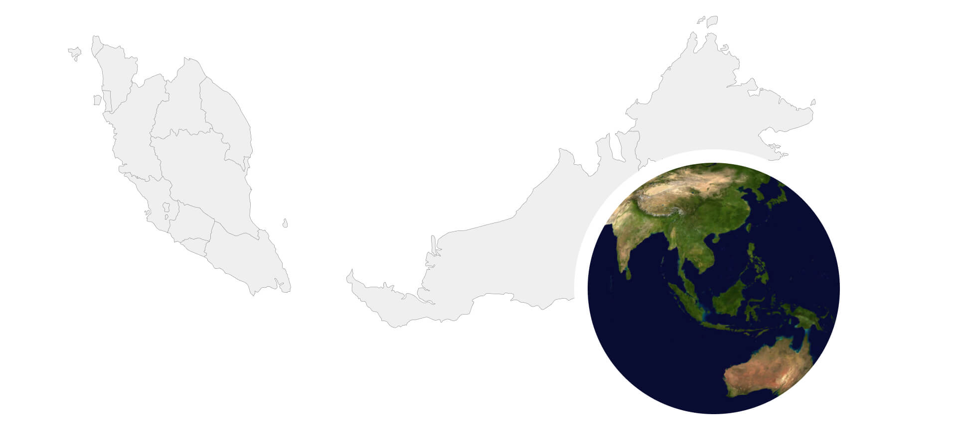
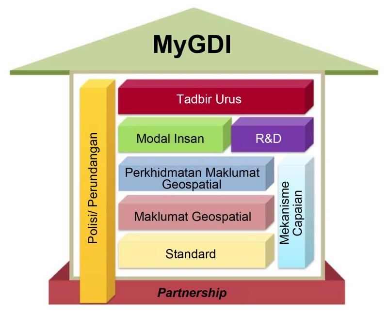
MyGDI
Info MyGDI
Komponen MyGDI
Jawatankuasa Tadbir Urus
Kumpulan Kerja MyGDI
Pusat Sumber
Pekeliling/ Garis Panduan/ Dokumen Am
Berita
Buletin Geospatial Sektor Awam
Risalah MyGDI
Statistik
Glosari
Perkhidmatan
Perkongsian Data MyGDI
Polisi dan Standard MyGDI
Khidmat Runding MyGDI
Inisiatif Geospatial
Inisiatif PGN
Inisiatif Kolaboratif
Infrastruktur ICT GIS
Bantuan Teknikal
Latihan
Lawatan
Hubungi Kami
Direktori Pegawai
Aduan / Maklum Balas
Soalan Lazim
Peneraju Perkongsian
Perkhidmatan dan
Maklumat Geospatial
Perkhidmatan yang mampan untuk kesejahteraan negara
Baca Lagi
Baca Lagi
Utama
Perkhidmatan Utama MyGDI
Permohonan Lawatan
Khidmat Runding MyGDI
Aplikasi MS 1759
Unique Parcel Identifier (UPI)
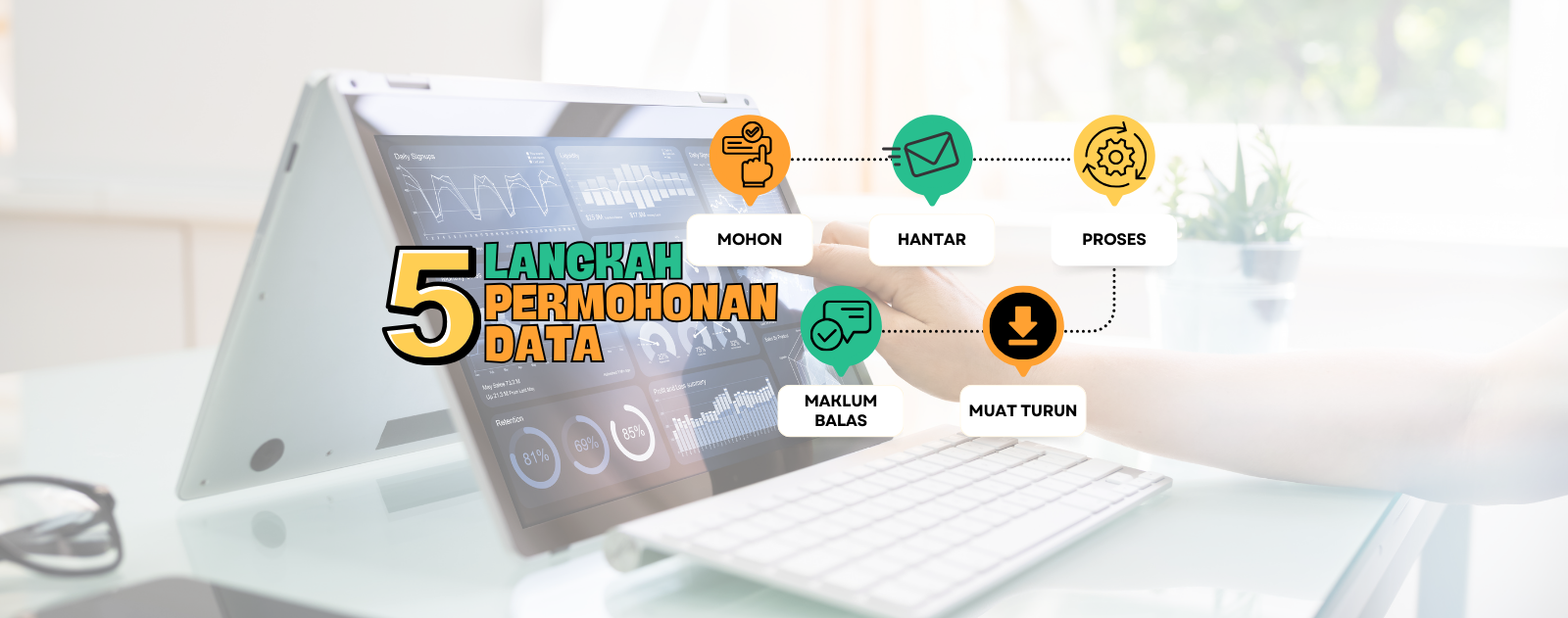
Perkongsian Data MyGDI
Berita
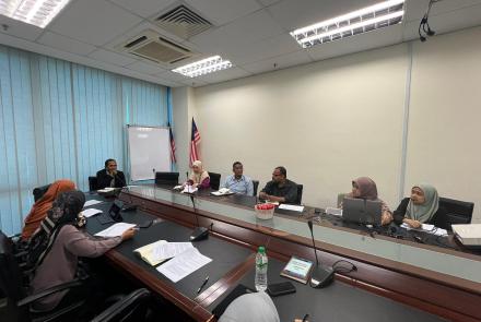
Mesyuarat Pemodelan Profil Sub-Permukaan 3D dan Pendigitalan Lubang Gerek
01 Jul, 2025
Komen-komen
Pelaksanaan Audit Luar Oleh Sirim Bagi Pensijilan Semula Information Security Management System (ISMS) ISO/IEC 27001:2022 di Pusat Geospatial Negara
19 Jun, 2025
Komen-komen
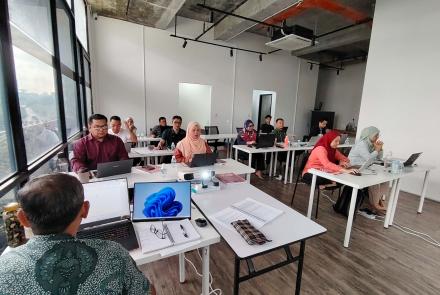
Kursus Framework Laravel
17 Jun, 2025
Komen-komen
Mesyuarat Berkenaan Potensi Perkongsian Data antara Petroliam Nasional Berhad (PETRONAS) dan Pusat Geospatial Negara (PGN)
16 Jun, 2025
Komen-komen
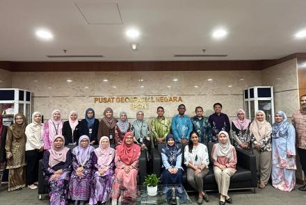
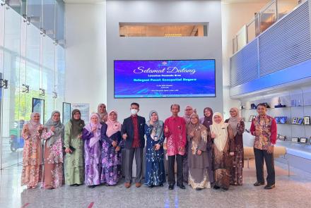
Lawatan Penanda Aras ke Jabatan Digital Negara (JDN) bagi Kajian Pemusatan Perkhidmatan Geospatial Sektor Awam
12 Jun, 2025
Komen-komen
Lihat Semua
Pengumuman
Terkini MyGDI Newsletter Edisi 1/2025
Terkini Buletin Geospatial Sektor Awam Edisi 2024
Lihat Semua
Komponen MyGDI
Baca Lagi