Application Categories
Pembangunan Aplikasi GIS
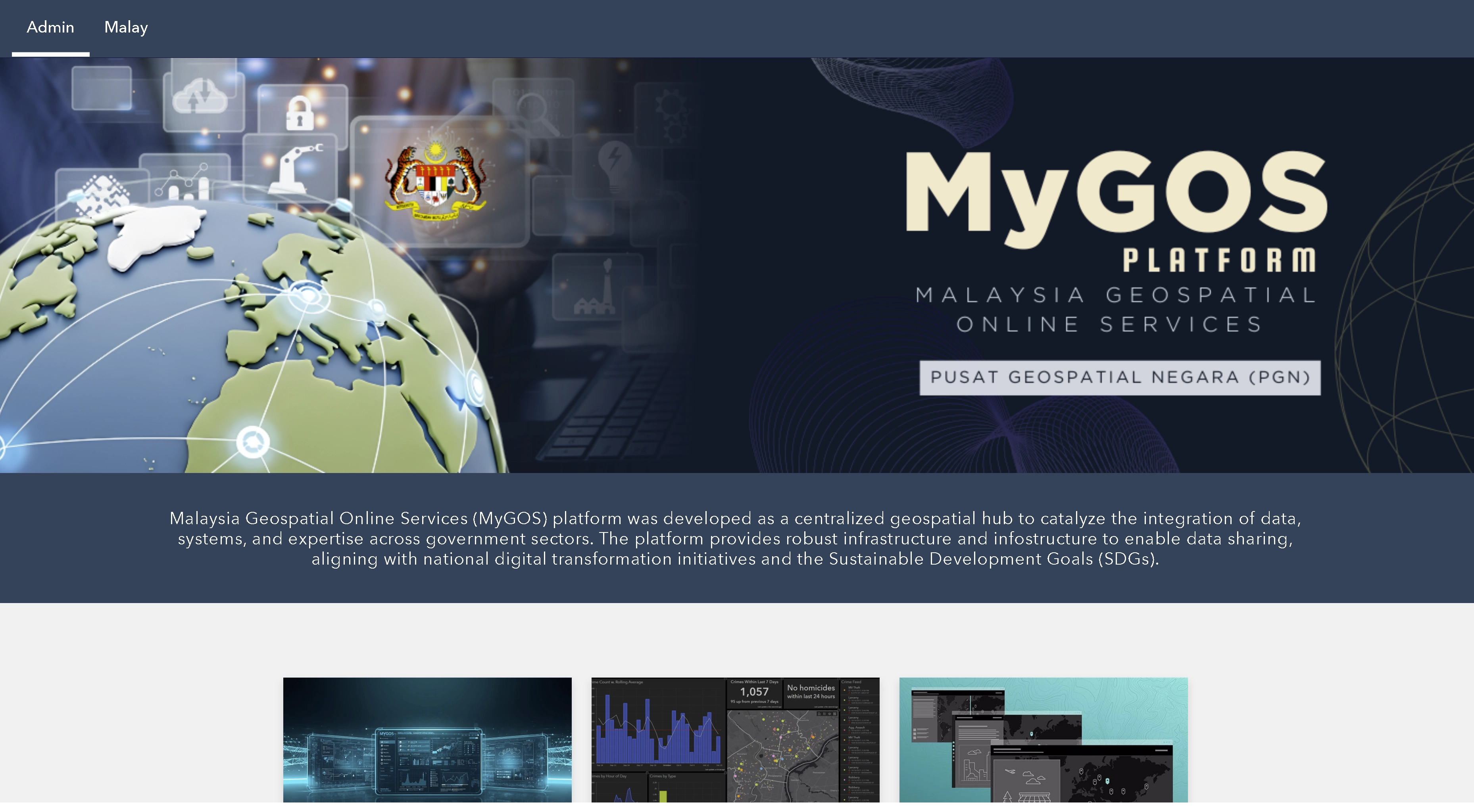
Through MyGOS, Government Agencies are able to update and access geospatial information online and in real-time as well as assist in decision making, formulating strategies and analyzing information quickly and accurately.
Geospatial information sharing is the best strategic collaboration for the benefits of synergies to the Government Agencies involved. This enables the integration of geospatial information for the benefits of all and not limited to the interests of any agency.
- Collect once use by many – Government agencies can share geospatial information virtually and information can be updated via online in a secured environment.
- Facilitate the collaborative Government Agencies to share and access geospatial information online, accurately and cost effectively.
- Avoid overlapping of geospatial information collections and production efforts.
- Help to improve the government's service delivery system.
- Make it easy for users without GIS background to develop GIS applications
- Document Management - Limit and organize document management using the 'My Content' function
- Web Map - Facilitate map design with exciting creativity and features such as changing the size of symbology, creating labels and more
- GIS Application Development - Develop GIS application without any programming included
- Information Sharing – Secure sharing of limited information with the 'Groups' function
- Storymap - an interactive display that has maps and basic information about storytelling
- Collect Geospatial Information - Discover geospatial information with smartphones offline or online using the 'Collector for ArcGIS' function
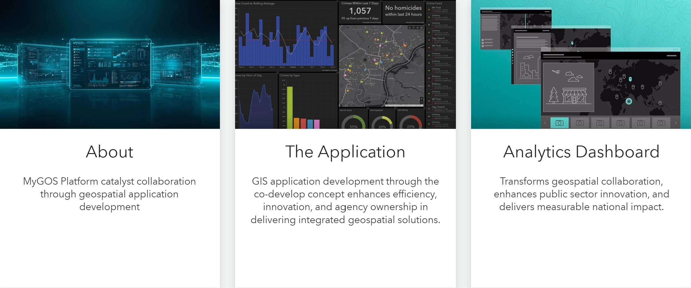
- Dashboard – An interactive display of analytical results to present to the top management