Application Categories
Path Page
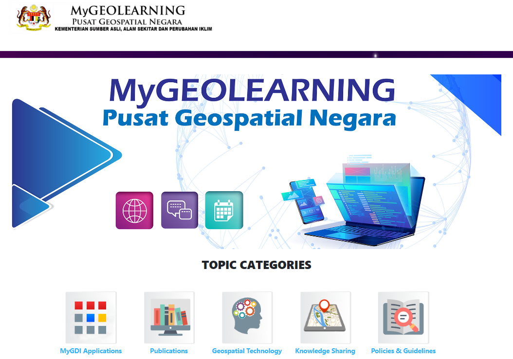
MyGeolearning is one of the geospatial service initiatives under the Malaysian Geospatial Open Source (MyGEOSC) platform that uses open source software. This application serves as a learning medium that provides exposure and dissemination of geospatial-related knowledge.
- Facilitating and encouraging the public to gain knowledge in the geospatial field.
- The integrity and validity of information is guaranteed and can be accessed at any time.
- MyGDI Applications - displays documents related to applications under the MyGDI program
- Publications – displays documents such as bulletin, newsletter and brochure under the MyGDI program
- Geospatial Technology - displays documents on knowledge sharing related to the latest geospatial technology
- Knowledge Sharing - displays documents on knowledge sharing related to other than the geospatial field
- Policies & Guidelines - displays documents on standards, guidelines, and policies under the MyGDI program
Not Available