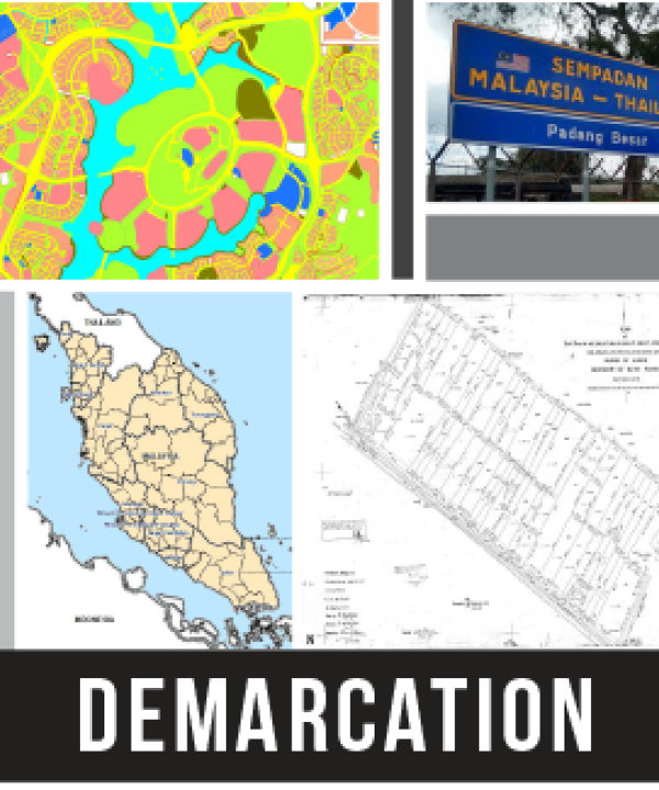
Geodata refers to a well defined fundamental geospatial data categories set up mutually among participating stakeholders. It's represented by customary data categories that users require, as well as environment to support the development and usage of this data on which agencies can create by overlaying their own information and thematic data with framework dataset. Through the mutual conception several government agencies or geospatial industry groups can define reliable data categories to accomplish their common objectives. Fundamental Data (Fundamental Feature) is a geospatial data of high interest or significant comply with standards and required by many parties to support the design and development of a country or organization. GDC Fundamental Data main reference based on features contained in the document of Malaysian Standard MS1759:2015, Geographic Information/Geomatics - Feature and Attribute Codes (First Revision).
 English
 BM
BM