Geospatial Initiatives
MyGDI Initiatives is a dynamic geospatial data sharing hub across public sector agencies, non-governmental organizations, academics and citizens.
Metadata Catalogue (MyGDI Explorer)
This application enable users to search relevant geospatial data/ information
Collaborate and Share Geospatial Information (MyGOS)
Platform for user and government agencies to promote sharing of geospatial information
MyGeotranslator
To help and facilitate agencies data provider use the geospatial data standards developed by PGN
MyGeo Data Services
MyGeo Data Services applications provides an interface to access data that can be shared between government to government agencies (G2G)
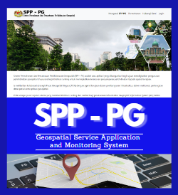
Geospatial Service Application and Monitoring System (SPP-PG)
An application that aims for digitize the management of geospatial services and consulting services to improve the smoothness of service delivery to government agencies
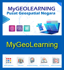
MyGeoLearning
MyGeolearning is an online catalogue that stores MyGDI programmes reference materials as well as documents related to geospatial field
Search Geographic Name (MyGeoName)
MyGeoName is a database that contains name and location information about geographical entities located throughout Peninsular Malaysia, Sabah and Sarawak. This database appears in a web gazetteer listed in alphabetical order
Search Codes Name for Land Administrative (UPI)
Coordination of Code and Name for Land Administrative Boundary, such as State, District, County/ Town/ City and Section
Search for Feature Codes and Attributes (MS1759)
MS 1759 is a method of encoding feature and attributes that provides the details and description of geospatial information exchange

