Metadata
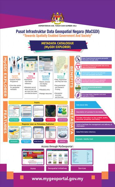
Metadata is "data about data." It describes the data/ information/ services related to a particular product. Metadata addresses key questions such as who, what, when, where, why, and how regarding the product.
In the context of geospatial information, geospatial metadata describes the geospatial information to be shared. Metadata is not limited to data alone, but includes information about GIS applications, research reports, geospatial information development and services.
The publication of metadata promotes the availability of geospatial information by providing details of geospatial data held by government and private agencies. It helps prevent duplication of data or services across various agencies and facilitates users in identifying the geospatial information they require.
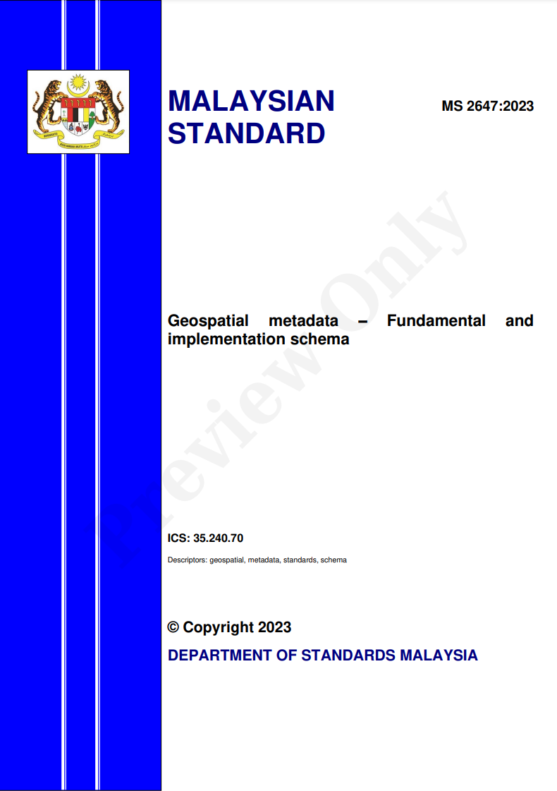
The selection of metadata catalog elements is based on the MS 2647:2023 document, titled Geospatial Metadata – Fundamental and Implementation Schema.
MyGDI Explorer
MyGDI Explorer is an online metadata catalogue which enables user to search, view, verify, share and manage geospatial metadata.
Through MyGDI Explorer, users can register for an account to gain more detailed access to geospatial information available in the Metadata Catalogue and subsequently become Metadata Publishers by contributing metadata. Metadata Providers include geospatial information suppliers from various government agencies, private sectors, and the general public.

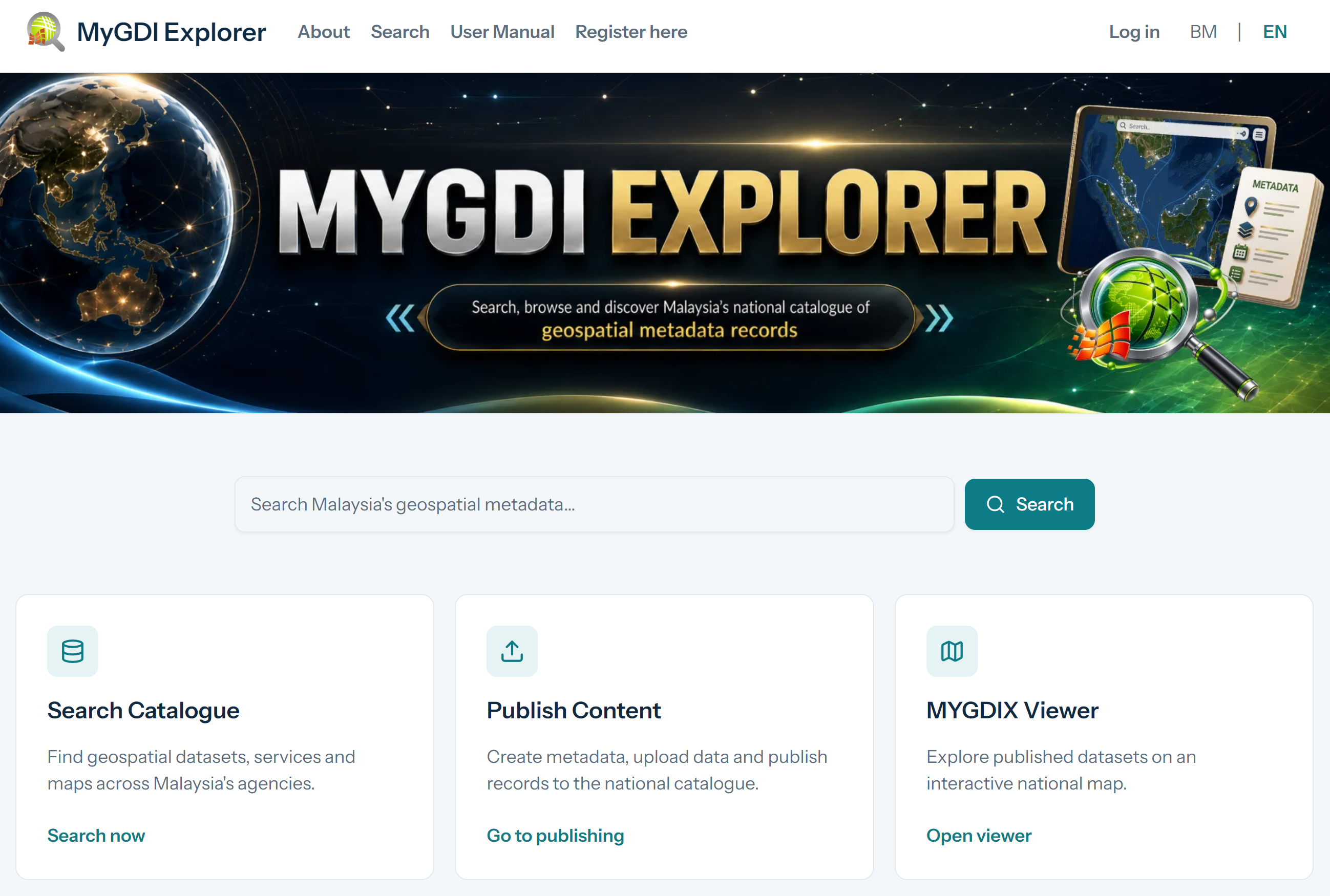
MyGDI Explorer is Malaysia’s geospatial information hub, connecting data providers with users online. It allows easy access to valuable geospatial data, helping individuals and organizations find the information they need.
This platform offers metadata records covering various GIS resources—including maps, applications, research outputs, and services. With a database of 6,730 records (as of March 2024), users can search, view descriptions, and evaluate relevant geospatial data.
The objectives of MyGDI Explorer is:
- Easy Access: Users can search and retrieve geospatial information online.
- Data Sharing: Encourages collaboration among agencies for better accuracy and up-to-date data.
- A Central Hub: Acts as a bridge between data providers and users.
- Support for Initiatives: Helps government bodies, academia, businesses, NGOs, and individuals in geospatial projects.
- Better Coordination: Reduces redundancy in data collection and improves integration across organizations.
MyGDI Explorer plays a vital role in ensuring geospatial data is accessible, well-managed, and beneficial for decision-making across various sectors in Malaysia
- Boosts Government Efficiency: Helps agencies deliver better, faster services.
- Encourages Collaboration: Makes geospatial data easier to share.
- Increases Awareness: Highlights the importance and value of geospatial information.
- Sets Standards: Establishes clear guidelines for geospatial metadata in Malaysia.
- Simplifies Access: Makes searching and evaluating geospatial data more user-friendly.
- Search: Find information using keywords and filters like content type, data category, and date.
- Browse: Explore metadata records grouped by content type and topic.
- Publish Content: Registered users can create, upload, and share metadata using standardized templates.
- Metadata Detail: View comprehensive information about available datasets and services.
- Preview: Access spatial information through public map service URLs.
- Offline Metadata Editor (METAFOR): Create metadata without needing an internet connection.
- MyGDIX Viewer: Search and display metadata with integrated map services.
- Manage Metadata: Registered users can update, download, delete, review, and validate records.
- Reports: Generate statistical summaries based on location, category, publication date, and more.