Application Categories
Aplikasi Pengurusan Geospatial
Path Page
Data shared in this application are consist of 12 categories of fundamental data namely Aeronautical, Built Environment, Demarcation, Geology, Hydrography, hypsography, Soil, Transportation, Utility, Vegetation, Special Use and General. Data shared through this map services in the government cloud can be viewed on a multi-platform.
Until 2023, 267 layers of fundamental data are shared comprise of 12 data categories. Users exclusively from government agencies whose granted MYGOS ID are allowed to access and view shared data in this application. Application for MYGOS ID can be submitted via email to pgn.web@nrecc.gov.my. MYGOS ID will also allow registered user to access shared fundamental data online on various platforms other than MYGOS.
- Simplify and speed up process of preparation and analysis work on geospatial information
- Avoid duplication of efforts in collecting, processing and creating geospatial information between relevant agencies.
- Save time and agency’s fund.
- Facilitate users from government agency to access geospatial data.
- Promote sharing of geospatial information by data provider agencies.
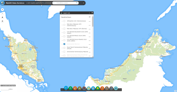
- Layer List - users can review list of available layers and create views of existing data layers.
- View Layer Attribute - display attribute information for each layer.
- Add Data Services - add other map services from agencies, MyGOS and ArcGIS Online.
- Lot Finder - searches land lot based on state code, district, county, section and lot number.
- Swipe - overlay multiple data layers from various added or existing map services and view differences between data layer.
- Print - create and print maps.
- Basemap gallery – wide selections of basemap from various sources such Bing Map, TM, ArcGIS Online, HERE and PGN.