Metadata is 'data about data'. Metadata describes the data/information/services of a product. It covers all questions: who, what, when, where, why and how about the product.
In the context of geospatial information, geospatial metadata describes the geospatial information to be shared. Metadata is not limited to data alone, but includes information about GIS applications, research reports, geospatial information development and services.
The publication of metadata provides the information of geospatial data availability in government and private agencies, avoid duplication of data or services from various agencies and facilitate users to identify the geospatial information needed.
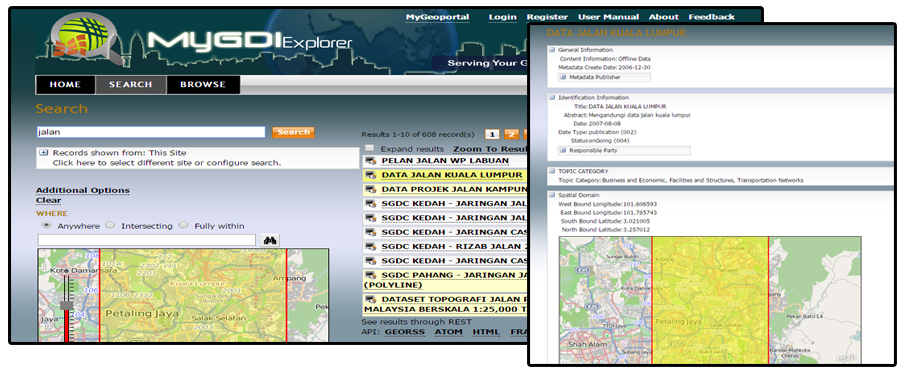
MyGDI Explorer
MyGDI Explorer is a metadata catalogue application that enables users to explore, search, view and evaluate geospatial data. MyGDI Explorer contains records that describe the content of the material and information and how to access it. MyGDI Explorer is a geospatial information dissemination medium that connects data providers with users across Malaysia. Selection of metadata catalogue elements based on MS 2647:2023 which is Geospatial metadata – Fundamental and implementation schema.
Through MyGDI Explorer, users can register accounts to access the geospatial information provided in the Metadata Catalogue in more detail and then become a Metadata Publisher to contribute metadata. Metadata Publisher is a geospatial information provider comprising of various government agencies, private and public users.
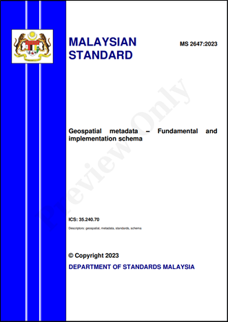
Malaysian Standard: Geospatial metadata – Fundamental and implementation schema (MS 2647:2023)
 English
 BM
BM