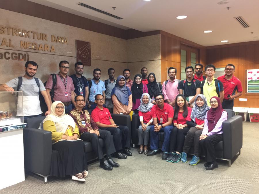
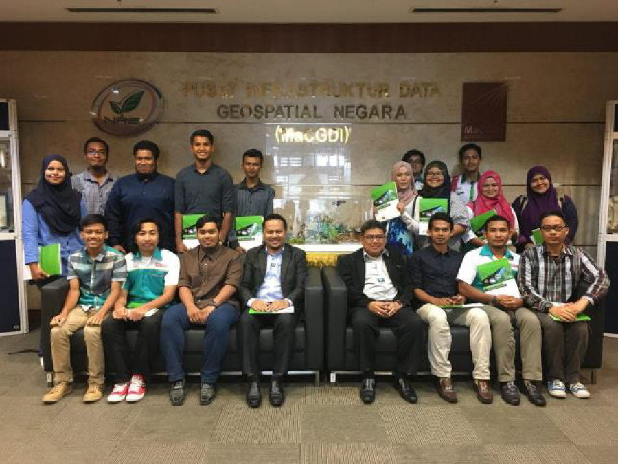
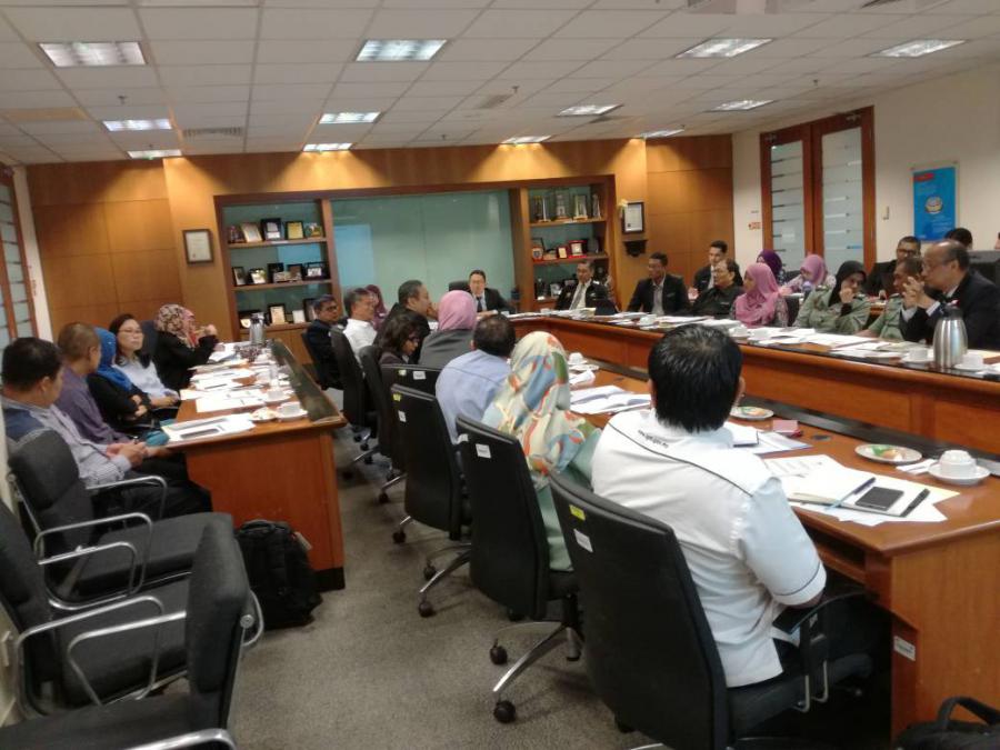
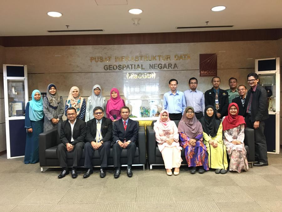
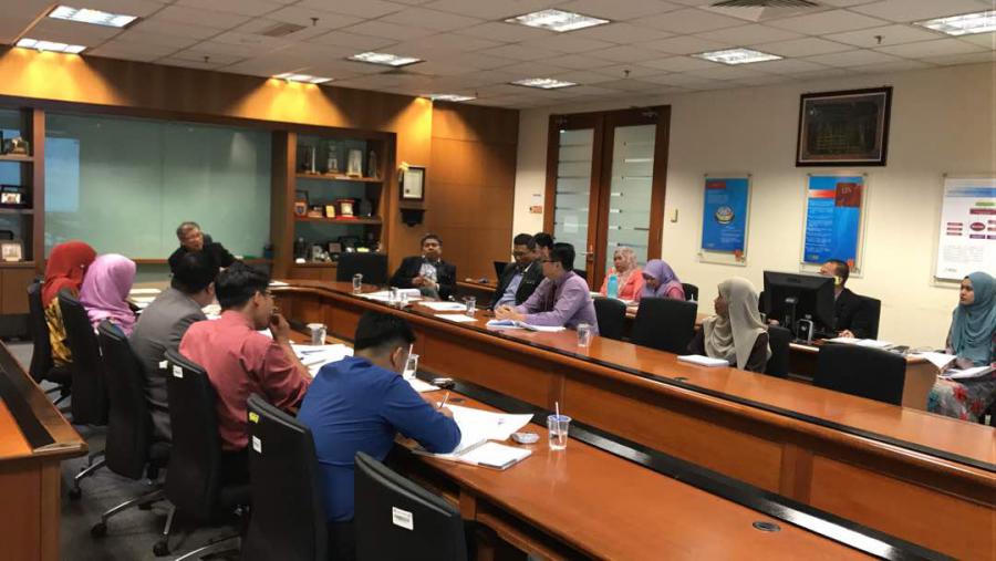
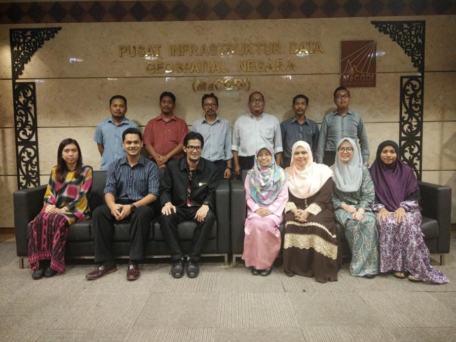
Laporan Ringkas Mesyuarat Jawatankuasa Teknikal Standard MyGDI (JTSM) BIL.1 Tahun 2015

Mesyuarat ini telah diadakan di  Bilik Gerakan SUPS, Tingkat 9, Bangunan Sultan Iskandar, Jalan Simpang Tiga, 93578, Kuching, Sarawak pada 17 November 2015. Sebanyak 19 agensi telah terlibat di dalam mesyuarat ini  bagi membincangkan pelbagai isu dan kemajuan Jawatankuasa Teknikal Standard sepanjang tahun 2015.

'VENOM', a sophisticated app to empower farmers and increase yield productivity

KUALA LUMPUR: The Department of Veterinary Services (DVS) has engineered a Veterinary Online Map application known as 'VENOM' in their bid to empower farmers with information and communication technology (ICT). VENOM is a geographic information system (GIS) application capable of mapping the country's poultry industry into a real-time map. This mapping ability would enable the ministry and relevant agencies to have easier accessibility to different vital and visual information about farms. Agriculture and Agro-Based Industry Minister Datuk Seri Ahmad Shabery

Creating the Future of 3D GIS

Expanded use of 3D GIS and mapping technology is increasingly common because of its ability to realistically render natural and man-made features for better analysis and decision-making. Recent developments in Esri CityEngine and the ArcGIS platform include advanced capabilities to quickly generate intelligent 3D visualizations that retain the modeling capabilities found in 2D GIS.

Solution for Highly Accurate Building Floor Plans

3D Laser Mapping has launched a solution developed to change the production of highly accurate building floor plans. Combining the ZEB1 handheld laser mapping system with point cloud processing software, the end-to-end solution will allow users to scan and produce detailed floor plans in a matter of minutes. The announcement follows an agreement between UK-based 3D Laser Mapping, worldwide distributors of the ZEB1 handheld mapper, and PointCab, a German software company specialising in the processing of laser-scanned data.


KL preps for soil movement monitoring to detect possible landslides

Malaysia, November 10, 2014: Dewan Bandaraya Kuala Lumpur (DBKL) has told media that the Kuala Lumpur city is increasing its monitoring and surveillance on slopes following the current monsoon season. Deputy Director-General (Project Implementation & Maintenance) Datuk Mohd Najib Mohd said this was to detect any abnormal soil movement which could result in landslides.


Malaysia completes eKadaster Project

Malaysia: The Department of Survey and Mapping (JUPEM) in Malaysia completed its biggest project called eKadaster in support of the nation’s vision of becoming a developed country by 2020, revealed Ahmad Fauzi Nordin, Deputy Director General of JUPEM. Nordin was in conversation with FutureGov

Sesi Rakaman Video Visual (Pulau Carey) bagi Aplikasi MyGeoName | 28 - 29 Januari 2020

Tujuan sesi rakaman ini diadakan adalah untuk penyediaan video visual bagi aplikasi MyGeoName untuk POI Pulau Carey. Video visual berdurasi 2.5minit ini kelak akan memaparkan persekitaran dan keunikan yang terdapat di Pulau Carey. Selain itu, turut diserahkan kutipan sumbangan derma ikhlas daripada warga MaCGDI kepada wakil orang asli kaum Mah Meri.

Mesyuarat Plenary ke-59 ISO/ TC 211 Geographic/ Geomatic Information

Penganjur: Standard Australia (SA), bertempat di The Exchange Centre 20 Bridge Street, Sydney NSW 2000.

Penyertaan Delegasi: Australia, Austria, Canada, China, Denmark, France, Germany, India, Indonesia, Jamaica, Japan, Republic of Korea, Malaysia, Netherland, New Zealand, Norway, Poland, Russian Federation, Saudi Arabia, South Africa, Sweden, Thailand, United Kingdom dan United States.

Displaying 164 of 164