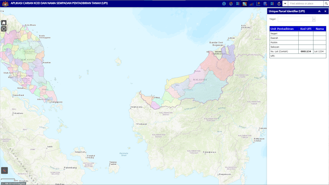
Land Administration Boundary Codes and Names – Unique Parcel Identifier (UPI) is a method of identifying the location of a parcel containing a unique series of numbers for State, District/ Jajahan/ Division/ Sub-District/ Jajahan kecil, County/ City/ Town/ Land/ Town District/ Desa, Seksyen/ Precint/ Block/ Section/ Village/ Island and lot/ Grant.

 English
 BM
BM